We’ve completed our first short documentary on the bluffs and buttes of western Nebraska, and you can now watch it in high definition.
This program explores some of the most recognizable landmarks in the Nebraska Panhandle — the rugged bluffs, isolated buttes, sandstone formations, and open prairie landscapes that have shaped the history and identity of the region. From Scotts Bluff National Monument to the stone sentinels that rise from the plains farther east, these formations are more than scenery. They were guideposts for emigrants, landmarks for travelers, and silent witnesses to generations of western history.
The documentary is narrated by Hawk Buckman — and yes, that is really how Hawk sounds. A few people thought it was Sam Elliott. It is not.
TRANSCRIPT
Western Nebraska is harsh country.
The wind alone is enough to test a person’s patience, sanity, and possibly their relationship with their car door.
It seems to never stop.
The land can be just as unforgiving. Long prairie grass, dry open country stretching to the horizon, blazing summer heat, and winter cold that settles in deep.
Out here, distance feels different.
As you travel the roads of western Nebraska, the miles can start to feel lonely. For hours, the view rolls on through grass-covered hills, open sky, and empty space.
Then, slowly, the landscape begins to change.
The hills rise higher. The prairie begins to open. The land starts to show its bones.
The hills become buttes.
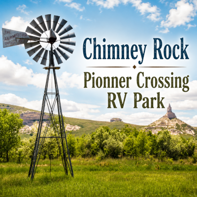
And in western Nebraska, four of them stand out above the rest.
Welcome to Scotts Bluff National Monument.
Gering, Nebraska, sits quietly in the shadow of Scotts Bluff National Monument.
Despite the name, the monument is not inside the city of Scottsbluff, which lies north of the North Platte River.
Scotts Bluff National Monument sits in Gering, a small Panhandle town of about 8,500 people with wide streets, local businesses, open sky, and the steady pace of western Nebraska life.
Here, the monument is not distant from town.
It is part of the skyline — a familiar presence rising just to the west.
Driving west from Gering, the road follows the old corridor of the Oregon Trail, now paved and carrying modern traffic through the same valley once crossed by wagon trains.
As the small town gives way to grassland, the prairie begins to open. The land breaks apart.
Ahead, the soft rock of the monument begins to show itself, revealing cliffs, slopes, and pale bands of stone.
These are not mountains in the usual sense.
They are remnants of an ancient High Plains landscape — layers of sand, silt, clay, mud, and volcanic ash deposited roughly 33 million to 22 million years ago, when western Nebraska was a changing land of rivers, floodplains, windblown dust, grasslands, and distant volcanic ash.
Over millions of years, those layers built up and hardened into soft rock.
Scotts Bluff was not a volcano.
It was shaped by erosion.
Wind, water, freezing, thawing, and time wore away the softer rock, while harder layers near the top protected what remained beneath them.
These formations were not pushed up like mountains.
They were left behind.
The land around them slowly eroded away, leaving Scotts Bluff standing above the North Platte Valley as one of the great landmarks of the Oregon Trail.
As the road leaves Scotts Bluff behind, the monument stays in the mirror for a while — a massive wall of stone rising from the prairie, catching the light, holding its place against the wind.
For centuries, this bluff has been a guidepost.
Native peoples knew this country long before wagon wheels cut across the valley.
Later, emigrants looked to these cliffs as a sign they were moving farther into the West.
Today, travelers still come here — not by wagon, but by highway, camera in hand, looking for a connection to something larger than themselves.
Scotts Bluff does not need to explain itself.
It simply stands there.
And in a landscape this wide, that is enough.

